GPS - GARMIN - ETREX® 32X
Need help ?
Need help ?
Our experts are at your disposal for advice and purchase assistance.
Call us at: 3481120522
Write to us at: info@wildgear.it
Frequent questions
Frequent questions
Do you have any questions about managing your order?
We have prepared an explanatory FAQ to help you, click here to consult it
Cash on delivery
Cash on delivery
We offer the cash on delivery service only on Italian territory. We are sorry
Delivery and shipping
Delivery and shipping
We are committed to processing orders as quickly as possible, usually our packages arrive at the final address within 48 hours. If an item is accidentally unavailable, you will be contacted as soon as possible.
Frequent questions
Frequent questions
Do you have any questions about managing your order?
We have prepared an explanatory FAQ to help you, click here to consult it
Description
Description
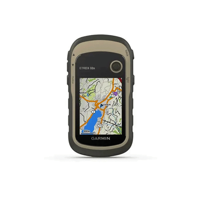
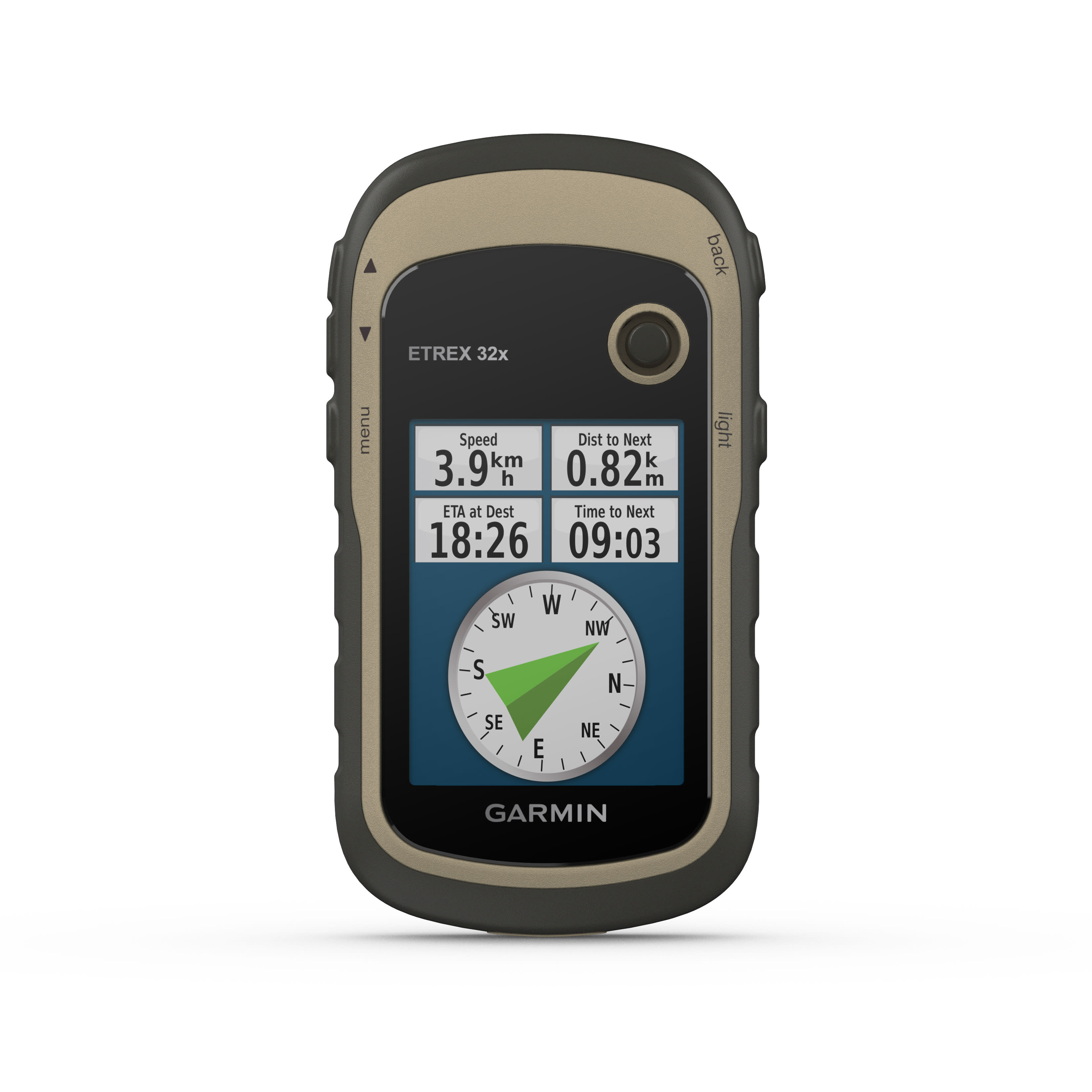
Explore with confidence with a highly reliable portable GPS
- 2.2" anti-glare color display with 240 x 320 pixel resolution for better readability
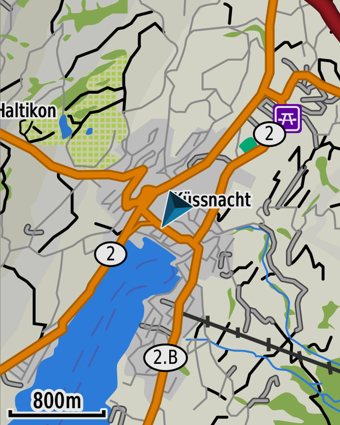
- It comes preloaded with TopoActive Europe maps, which include roads and paths suitable for cycling and walking.
- Support for GPS and GLONASS satellite systems enables tracking in the most remote locations and even more reliably than using GPS alone.
- 8 GB of internal memory for map downloads and microSD™ card slot
- The eTrex 32x model also offers a 3-axis compass and barometric altimeter
- Battery life: Up to 25 hours in GPS mode with 2 AA batteries
https://youtu.be/G-G9dPpqdEg
- LENS MATERIAL acrylic
- DIMENSIONS 5.4 x 10.3 x 3.3 cm
- WEIGHT 141.7 g (with batteries)
- IPX7 WATERPROOF RATING
- DISPLAY TYPE 2.2" 65K color transflective TFT
- SCREEN SIZE, WXH 3.5 x 4.4 cm; 2.2" diagonal (5.6 cm)
- SCREEN RESOLUTION, LXA 240 x 320 pixels
- BATTERY 2 AA batteries (not included); NiMH or lithium recommended
- BATTERY LIFE 25 hours
- MEMORY/HISTORY Card
- Mini USB INTERFACE
- PRELOADED MAPS Yes (TopoActive Europe; drivable roads)
- ADDITIONAL CARTOGRAPHY
- WORLD BASEMAP
- AUTOMATIC ROUTE CALCULATION (WITH PRECISE TURN INDICATIONS)
- MAP SEGMENTS 3000
- INCLUDES DETAILED HYDROGRAPHIC INFORMATION (COASTLINES, RIVER/LAKE BANKS, MARSHES AND PERENNIAL AND SEASONAL WATERWAYS)
- INCLUDES SEARCHABLE POINTS OF INTEREST (PARKS, CAMPSITES, VIEWPOINTS AND PICNIC AREAS)
- ALLOWS YOU TO VIEW NATIONAL, STATE AND LOCAL PARKS, FORESTS AND NATURE RESERVES
- STORAGE CAPACITY AND POWER 8 GB microSD™ (not included)
- STORED POSITIONS 2000
- TRACKS 200
- TRACK LOG 10,000 points, 200 saved tracks
- MEMORIZABLE PATHS 200
- GPS
- GLONASS
- BAROMETRIC ALTIMETER
- COMPASS Yes (with tilt compensation, 3 axes)
- HIGH SENSITIVITY GPS RECEIVER
- GPS COMPASS (IN MOTION)
- VIRB™ REMOTE CONTROL
- POINT-TO-POINT NAVIGATION
- AREA CALCULATION
- FISHING FORECAST
- EPHEMERIS
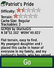
- SUITABLE FOR GEOCACHING Yes (computerized)
- COMPATIBLE WITH CUSTOM MAPS Yes (100 custom map tiles)
- IMAGE VIEWER
- WIRELESS CONNECTIVITY yes (ANT+®)
- SECURITY UPDATES UNTIL AT LEAST (YYYY-MM-DD) 2021-05-17
- ADDITIONAL FEATURES Wireless Connectivity: ANT+
- eTrex 32x
- USB cable
- Documentation
Secure and certified payments
Your payment details are processed securely. We use the best payment systems on the market.
Pay in 3 installments with:

Pay your order in 3 monthly installments. No interest.